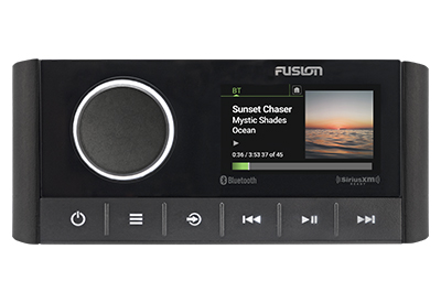
FUSION EXTENDS AWARD-WINNING APOLLO SERIES WITH NEW RA670 MARINE STEREO
Fusion, a worldwide leader in marine audio entertainment, continues to build on the innovation and successes of the award-winning Apollo Series. The new Apollo RA670 will deliver powerful technology to a wider market in a new premium form factor.