Teledyne Raymarine Announces Expanded CMOR NEX GEN Charts
July 21, 2026
High-Resolution Mapping for Florida Waterways.
Teledyne Raymarine, a global leader in high-performance marine electronics for the recreational boating, marine first-responder and law-enforcement markets – has announced it has expanded its access to new CMOR NEX GEN all-in-one seafloor and navigational charts to include full coverage for the entire state of Florida.
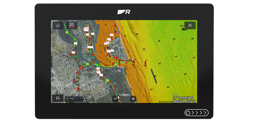
The new charts available from CMOR now feature the South Florida, West Florida and the all-new South Atlantic V2 regions with maps that combine high-resolution bathymetric imagery with full navigational data and satellite imagery. Along with additional Florida coverage, CMOR NEX GEN South Atlantic V2 also covers the coastal areas of Georgia and South Carolina.
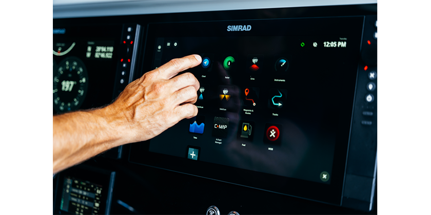
CMOR NEX GEN mapping is compatible with Raymarine Axiom 2 Pro, Axiom 2 XL and the all-new, more affordable Axiom 2 chartplotter (with LightHouse operating software version 4.11 or greater). In addition to detailed seafloor imagery revealing subtle ledges, wrecks and drop-offs, CMOR NEX GEN chart features includes:
• Integrated Navigational Icons and Aids
Seamlessly overlays beacons, buoys and other standard navigation symbology – so users don’t lose reference to critical safe passage markers.
• Recommended Routes and Course Planning
Preloaded preferred navigation with suggested approaches to harbors, safe entry/exit channels and optional routing aids based on depth, hazards, and vessel type.
• Named Wrecks, Reefs & Submerged Features
Annotated seafloor features with labels – sunken vessels, reef names, rock formations – making it easier to plan drops or dives at recognized structure.
• Bridge, Marina and Infrastructure Data
Details on bridges such as clearances, timings, spans and marina layouts with slips, fuel, services.
• Satellite/Aerial Imagery Layer
True-to-life surface imagery of coastlines, islands, mangroves, docks and land use providing visual context at a glance. Users can identify shoreline features visually, compare land vs. water and better orient themselves.
• Smart Layering and Zoom-Adaptive Display
Dynamic switching or blending of layers as the display is zoomed in or out with full satellite imagery and bathymetry at close range and simplified base map further out to preserve clarity and performance. CMOR also announced that U.S. Gulf State coverage will be released in July 2026, further expanding coverage for these powerful chart features for serious fishing and diving enthusiasts.
For more information on Raymarine and its full line of marine products, including the new line of Axiom 2 chartplotters compatible with CMOR NEX GEN charts, visit www.raymarine.com.