Maptech® Unveils Harbor Drone Video Program
Mar 4, 2025
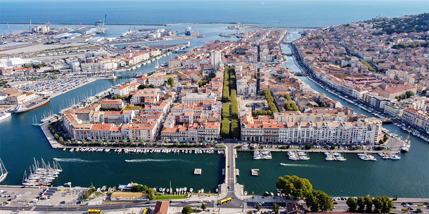
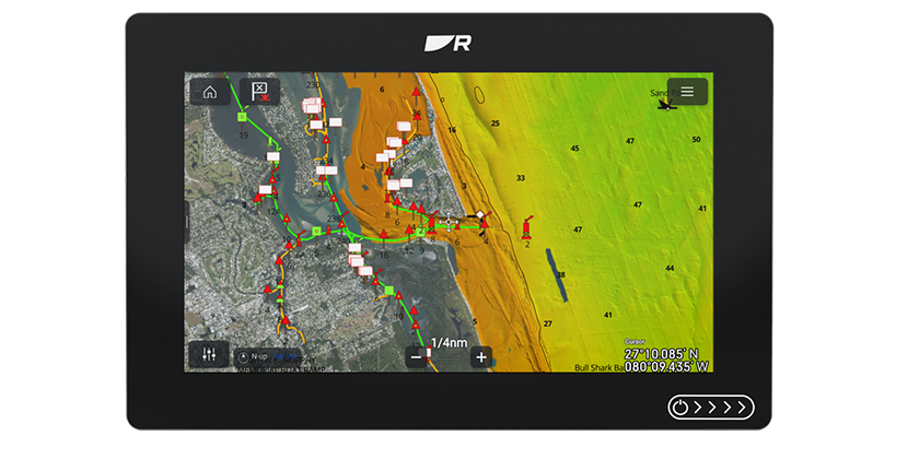
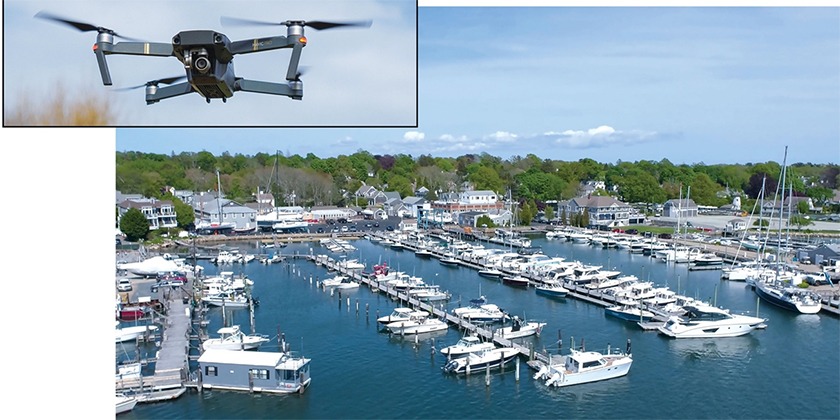
Maptech®, an industry-leading provider of marine navigation chartbooks, digital navigation charts and many other marine navigation tools, announced that it has further expanded its offerings by unveiling its Harbor Drone Video Program. The new videos display coastal details that are not available from satellite or high-altitude aerial imagery for an easier and more approachable understanding of new harbors and facilities. Maptech currently has over 100 videos and are adding more all the time.
Satellite images and charts often fail to provide details that can be seen from the helm. The Maptech videos help the boater “see what they will see” when visiting a harbor or marina such as buoys and landmarks and important locations like fuel docks. The videos are easily accessible through QR codes in the Maptech Embassy Cruising Guides and online through MoreMaptech.com – a free site that provides comprehensive marine facility information to complement the videos.
Both marinas and boaters can benefit from the harbor drone videos. Marinas can showcase their facility and harbor and provide a convenient way to explain to boaters how to approach the marina and fuel dock by following the aerial view of the property. For boaters, it is an effective way to visualize landmarks when visiting a new marina and harbor and view the approach and channels leading into the harbor. The expansion of Maptech’s Harbor Drone Video Program will bring even more easy-to-use videos to harbors along the East Coast.
“Maptech’s harbor drone videos are the answer to what both boaters and marinas have been asking for,” said Lee Estes, Owner and President, Maptech. “We’re proud to offer our customers this new technological resource through our mission to help boaters feel more confident, explore new places and operate more safely. This is truly a win-win for boaters and marinas.”
Maptech’s product line ranging from digital navigation to paper charts to 500+ page cruising guides and now the harbor drone video allows boaters to feel safe they are in good hands with Maptech. For more information on Maptech and its navigational tools, visit www.maptech.com.